Nature
The rock of Hakaba
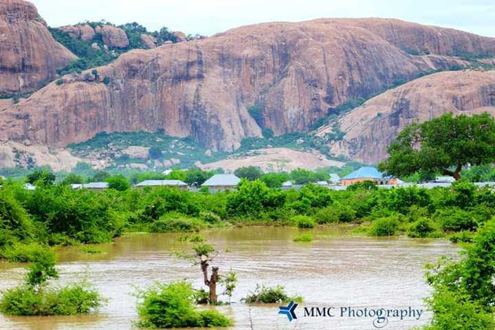
A massive rock rising from the middle of town, visible from far across the plains.
A Bay region town named after the great rock that rises in its centre, on the main Mogadishu–Baidoa road about 60 km southeast of Baidoa.
Bur Hakaba (Buurhakaba) is the centre of Buurhakaba District in the Bay region. It takes its name from the huge rock that rises in the middle of town; buur is Somali for hill or mountain. The town lies on the main Mogadishu–Baidoa road, about 60 km southeast of Baidoa.
A massive rock rising from the middle of town, visible from far across the plains.
The rock of Hakaba has long been a landmark on the plains of Bay; a photograph from 1928 shows it towering over the townspeople. Italian-era maps spelled the name Bur Acaba.
As elsewhere in Bay, Maay is widely spoken, and life revolves around farming and livestock.
Rain-fed farming, livestock and trade along the Mogadishu–Baidoa road are the main sources of income.